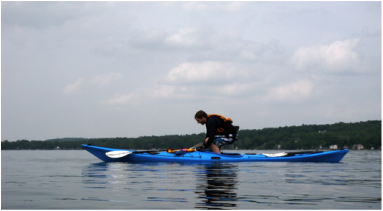
Neal attempting kayak acrobatics
|
When we (Neal, a new Rough Rider, and I) arrived at Honeoye Lake, we couldn't seem to find the park to launch from so we stopped at a gas station to ask for directions. As we pulled into the gas station I finally decided it would be a good idea to pull out my map of NY to see where exactly we were. Somehow we’d managed to miss Honeoye and end up at Conesus (3 lakes over! oops)...
|
|
0 Comments
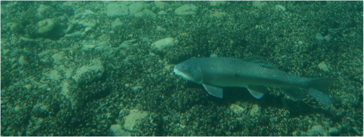 Fish swimming under our boats in the crystal clear waters. We put in around 8:30am at the south end of the lake at Scott Park. During the short paddle down the inlet, we were welcomed by the fumes of burning garbage, but luckily that passed once we got to the lake...
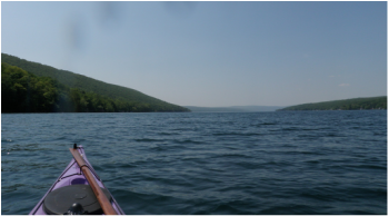
It’s a cute little lake located about ten miles southeast of Watkins Glen. It's named after the Senecan Princess Kayutah, whose mother filled the lake with tears after her daughter was kidnapped. The east and west shores are lined with houses and trailers. The put-in is at the north end.
We canoed around the lake, stopping to check out the inlet and outlet at the north and south ends of the lake, respectively. We saw some big beaver dams (one completely blocked off the outlet channel). The ferns were beautiful in the evening sun. I would show you a picture, but I decided it would be a good idea to set my camera on the back of my car before driving away along the bumpy dirt road. oh well. maybe it will turn up. Thunderstorms were in the forecast, so it was quite exciting when the wind picked up and the temperature dropped just as we reached the far end of the lake. Click "Read More" to see a map of the route.
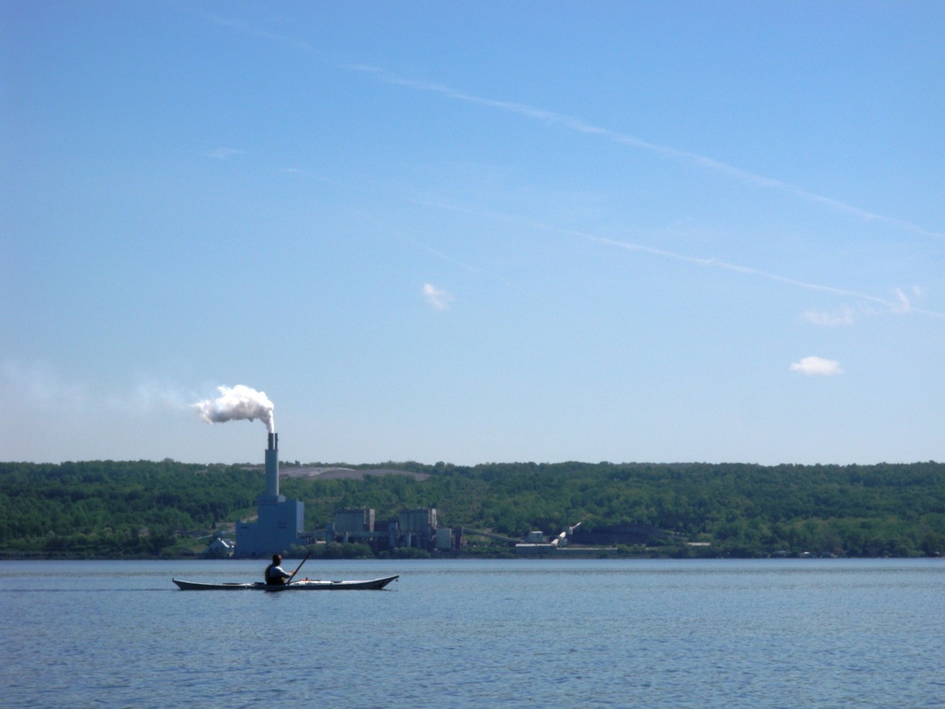 Ben paddling in front of Milliken Power Station. After getting a serious case of “kayaker’s high” from the gorgeous paddle the night before, Rob, Ben, and I decided to meet up at 8am at Taughannock State Park to squeeze in another morning paddle. We put in on the north shore of the park...
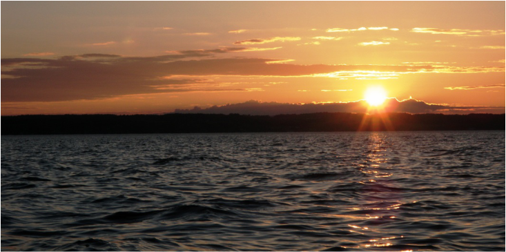 Sunset over the west side of Cayuga Lake. On Sunday night, Rob, Ben, and I drove up to Long Point State Park for an evening exploration of a new part of Cayuga Lake. We put in at Long Point State Park near Aurora, NY, on the east side of the lake...
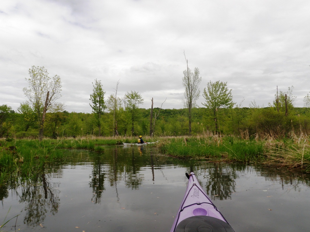 Wetlands along the Owasco Inlet Owasco is a fun little lake with lots of nooks and crannies to explore. On a windy day you can explore the inlet instead of paddling on the lake. To get to the put-in at the south end of the lake, drive to Southshore Marina and take the little dirt road at the back of the parking lot. You will end up at a small parking lot near where the inlet meets the lake...
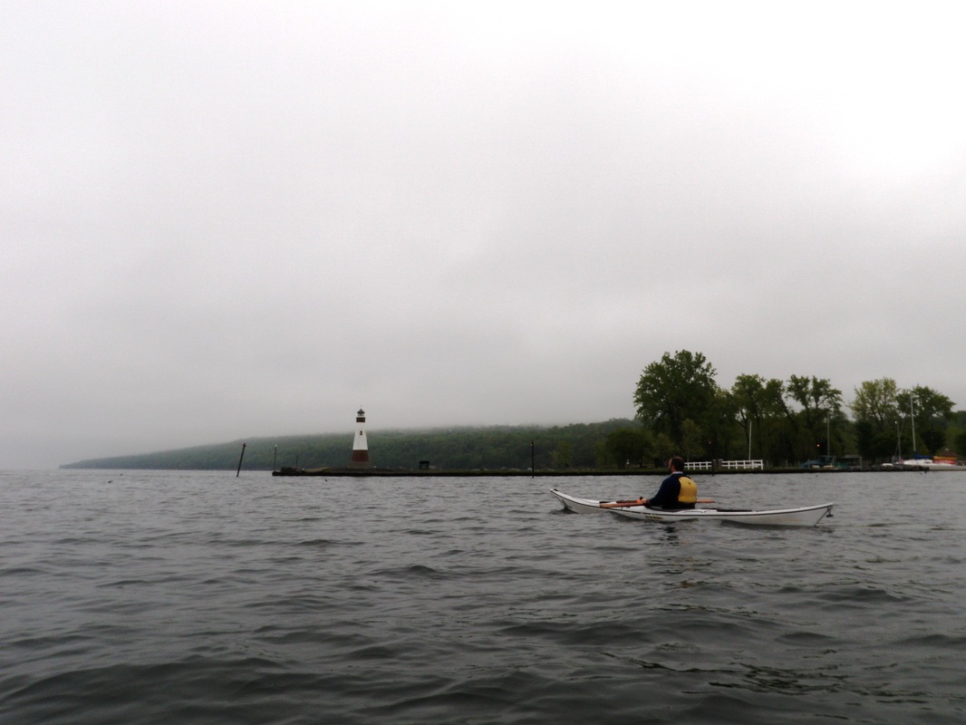
Ben in front of the Myers Point lighthouse, before we made the crossing to Taughannock Falls State Park
One morning Ben and I decided to make the voyage (is that the aqueous version of ‘trek’?) to Taughannock Park, starting at East Shore Park. We were on the foggy water by about 7:30AM.
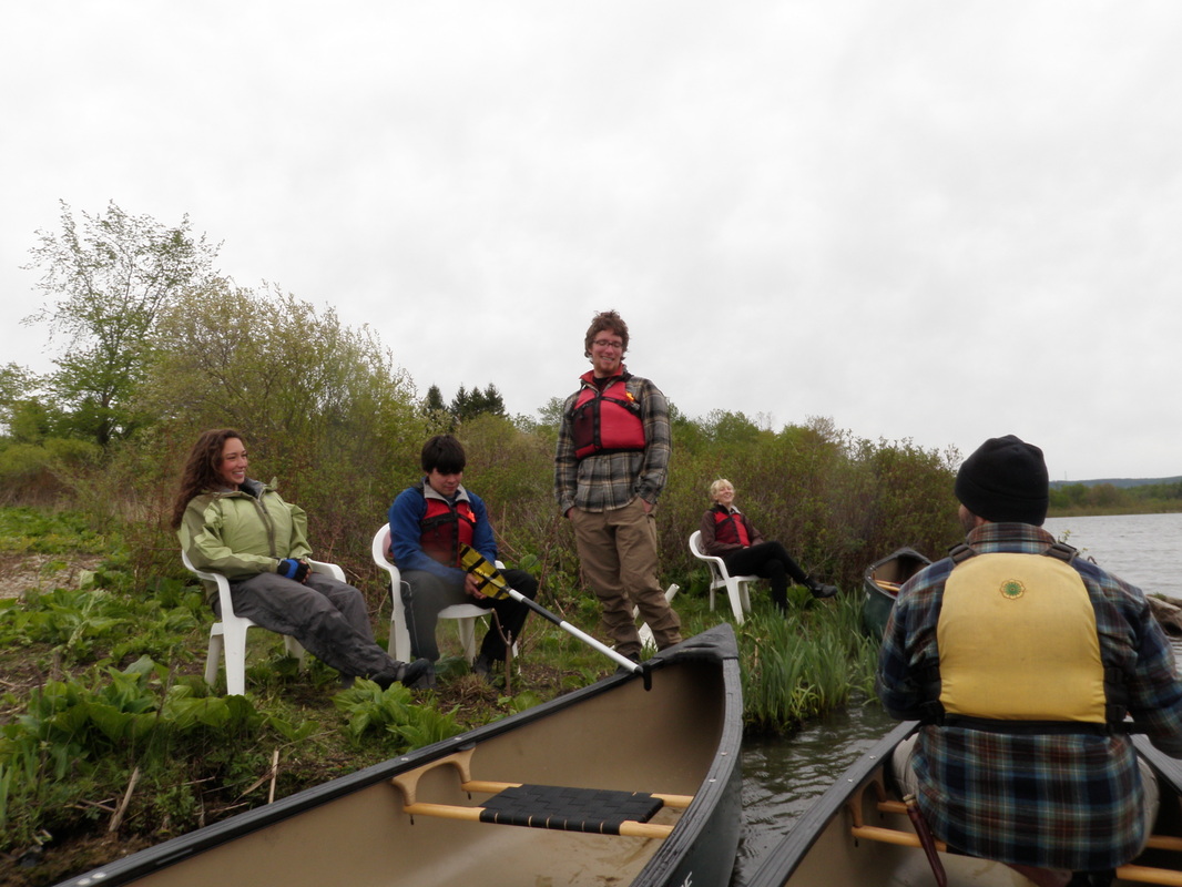 Laura, Joe, Devin, Emily, and Ben taking a little break at some conveniently located chairs. Sometimes I go canoeing too. I thought about adding a “and sometimes canoeist” clause to the title of this blog, but that was just too long. On May 11th the Cornell Outdoor Education (COE) Wizards circumnavigated Dryden Lake (a great feat). Here are some photos (click "Read More" below to see many more!):
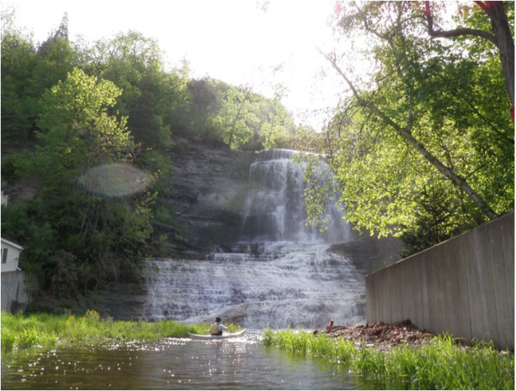
Ben approaching Hector Falls.
Yep, that’s right… I'm super lame and went kayaking on Slope Day instead of seeing… Drake? Who is that? Slope day is Cornell University's annual end of year party, in which a committee of students chooses a band/singer/rapper (mostly the latter) to play a concert on the steep grassy slope connecting West Campus to the rest of the university.
We (Ben, Rob, Anna, and I) met at the southern tip of Seneca Lake and launched from Lakeside Park in Watkins Glen around 7:30AM. This means my alarm was set for 5:30AM… it was painful. We decided (by “we” I mean Anna, because she is the official decision maker) that since the lake was glassy-calm we would first paddle out in the open and think about exploring the inlet later. So off we went! |
Welcome!This is a blog about exploring the outdoors (mostly by kayak), traveling, trip planning, and coastal engineering. It currently focuses on kayaking in the Netherlands and Belgium, but previous posts cover Upstate New York, California, and much more. See the Complete List of Blog Posts for a history of the site. Looking for something specific? Search the site here.
In addition to the blog, check out the Water Nerd section, where I write about coastal engineering and hydrology. Happy Paddling! Nena Subscribe Here!Email updates on new blog posts, about once per month.
Reader TipsClick the "Read More" link at the bottom of each summary for more photos, to see an interactive map of the route, and to read about the adventure.
Maps in each blog post: Click the icons to learn more about the launch site (amenities) and destinations. Click the square in the bottom-left corner to see an aerial photo behind the route. Archives
December 2020
Categories
All
Click the RSS Feed link, copy the URL, and paste it into your favorite feed reader.
  |
 RSS Feed